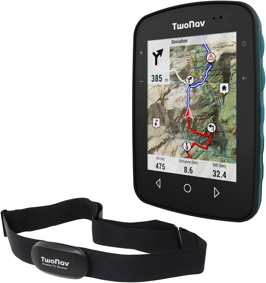
Navigating unknown terrain can be made easier with the use of maps and GPS. Maps provide a visual representation of the landscape and key landmarks, while GPS allows you to determine your exact location and track movements. Combining both tools can provide the most accurate information. Tips include carrying a physical map as a backup, marking key landmarks, staying aware of surroundings, and planning routes in advance. Ultimately, being prepared and equipped with maps and GPS can make exploring unknown terrain a thrilling and enjoyable experience. Remember to plan ahead, stay vigilant, and enjoy the journey!
Navigating Unknown Terrain: The Ultimate Guide
Introduction
Exploring unknown terrain can be an exciting adventure, but it can also be daunting if you don’t have the right tools to guide you. With the advent of technology, navigating unknown terrain has become much easier with the use of maps and GPS. In this guide, we will provide you with tips and tricks on how to effectively navigate unknown terrain using maps and GPS.
Understanding Maps
Maps have been used for centuries to navigate unknown terrain. They provide a visual representation of the landscape and show important landmarks, roads, and geographical features. Before setting out on your adventure, make sure to study the map of the area you will be exploring. Familiarize yourself with key landmarks and routes to help you navigate effectively.
Using GPS
GPS, or Global Positioning System, is a satellite-based navigation system that allows you to determine your exact location anywhere on Earth. Before heading out into unknown terrain, make sure your GPS device is fully charged and that you have a clear view of the sky to acquire satellite signals. GPS can provide you with real-time location updates, track your movements, and help you find your way back if you get lost.
Combining Maps and GPS
While both maps and GPS are valuable tools for navigating unknown terrain, combining the two can provide you with the most accurate and reliable information. Use your map to get a broad overview of the area and plan your route, and rely on your GPS for real-time navigation and tracking. Be sure to cross-reference your map with your GPS location to ensure you are on the right track.
Tips for Navigating Unknown Terrain
- Always carry a physical map as a backup in case your GPS device fails.
- Mark key landmarks on your map to help you orient yourself in the terrain.
- Stay aware of your surroundings and be mindful of changes in the landscape that may affect your route.
- Plan your route in advance and inform someone of your itinerary in case of emergencies.
Conclusion
Navigating unknown terrain can be a thrilling experience, but it’s important to be prepared and equipped with the right tools. With maps and GPS, you can confidently explore new landscapes and discover hidden treasures. Remember to plan ahead, stay vigilant, and enjoy the journey!
